About G1 1DT
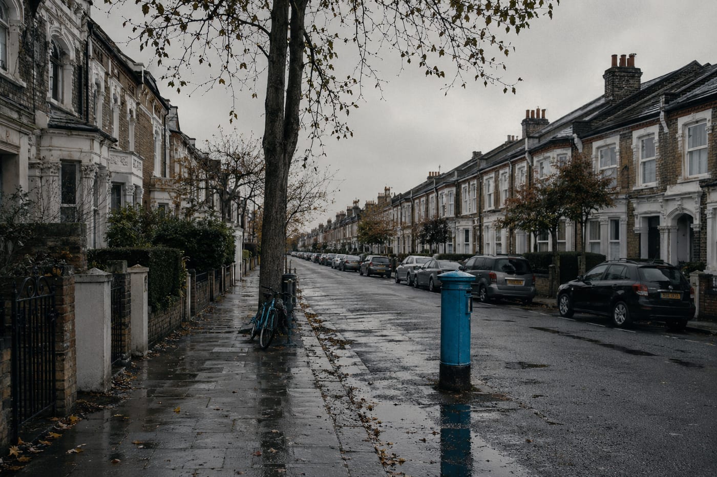
G1 1DT is a UK postcode. This report summarises schools, safety, healthcare, transport, green spaces, flood risk, and local shops within a 0.5-mile radius, using data from official UK government sources.
There are no schools within 0.5 miles of G1 1DT. The nearest schools may require a short drive or bus journey.
No crimes were reported within 0.5 miles of G1 1DT in the most recent month of data from the UK Police API. This suggests a very low crime area.
There are no GP surgeries or hospitals within 0.5 miles of G1 1DT. Residents may need to travel further for healthcare access.
The nearest rail stations are Argyle Street Rail Station (Train, 0.1 miles away), Glasgow Queen Street Rail Station (Train, 0.2 miles away), Glasgow Queen Street Low Level Rail Station (Train, 0.2 miles away), St Enoch SPT Subway Station (Tube/Metro, 0.2 miles away), Buchanan Street SPT Subway Station (Tube/Metro, 0.2 miles away).
This location is in Flood Zone 1 (low risk — less than 1 in 1,000 annual chance of flooding). Data from the Environment Agency.
The area around G1 1DT has 12 green spaces totalling 5 hectares within 0.5 miles. The nearest is Park (1.1 ha), 0.1 miles away.
There are 23 supermarkets within 0.5 miles, including Tesco, Spar, Marks and Spencer, Sainsburys and others. The nearest is Tesco Glasgow Queen Street Express, within a short walk.
This data is sourced from DfE/Ofsted, the UK Police API, NHS ODS, NaPTAN, the Environment Agency, Ordnance Survey, and Geolytix. For a detailed interactive view, explore G1 1DT on the NestScope map.