About YO1 7HH
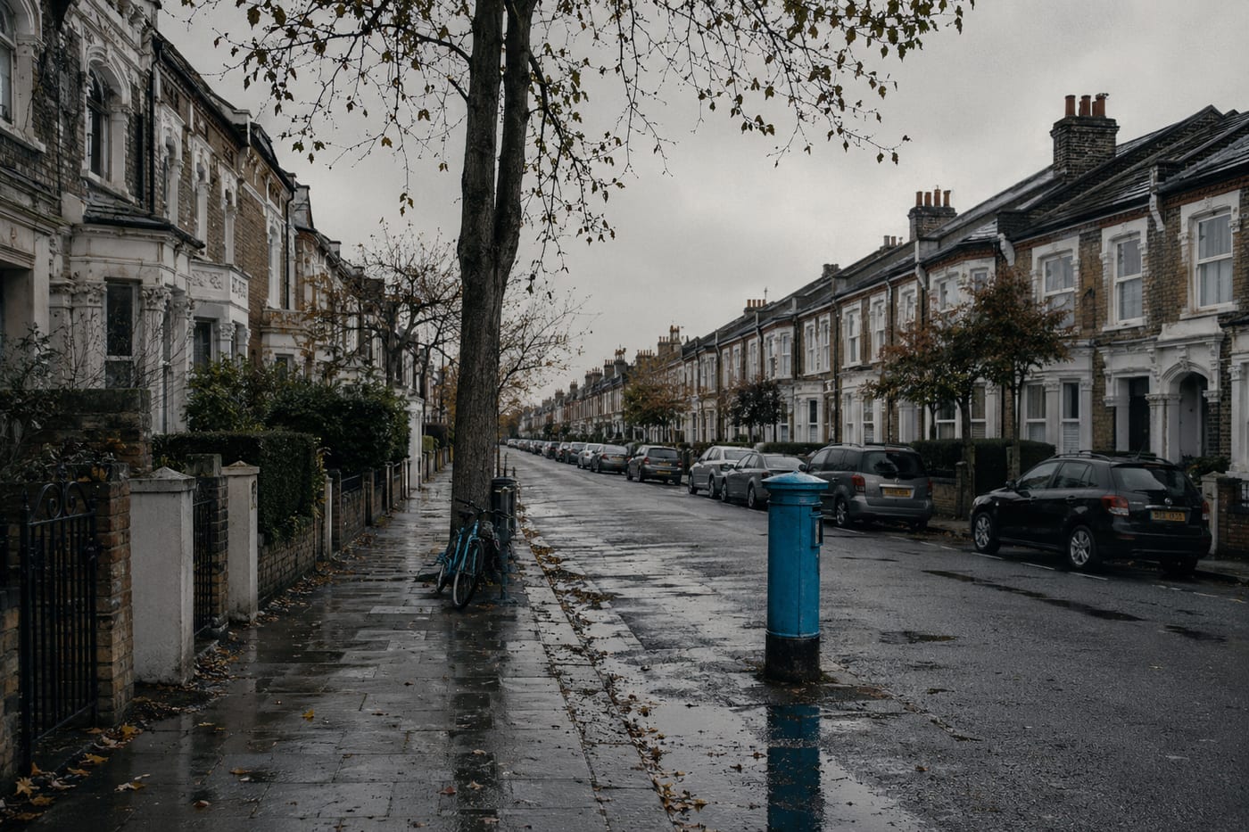
YO1 7HH is a UK postcode. This report summarises schools, safety, healthcare, transport, green spaces, flood risk, and local shops within a 0.5-mile radius, using data from official UK government sources.
There are 4 schools within 0.5 miles of YO1 7HH, including 2 rated Good. The nearest school is St Wilfrid's Catholic Primary School - a Catholic Voluntary Academy (Ofsted: Good), 0.3 miles away.
There were 408 crimes reported within 0.5 miles of YO1 7HH in the most recent month. This represents a high level of crime. Data is sourced from the UK Police API, which covers all 43 police forces in England and Wales.
Healthcare access is good, with 2 GP surgeries and 1 hospital within 0.5 miles. The nearest GP practice is JORVIK GILLYGATE PRACTICE, 0.3 miles away.
There are no train or Tube stations within 0.5 miles of YO1 7HH. Bus services provide the main public transport connection, with 57 bus stops nearby.
This location is in Flood Zone 1 (low risk — less than 1 in 1,000 annual chance of flooding). Data from the Environment Agency.
The area around YO1 7HH has 23 green spaces totalling 14.2 hectares within 0.5 miles. The nearest is St Peter's Cathedral, within a short walk.
There are 14 supermarkets within 0.5 miles, including Tesco, Sainsburys, Marks and Spencer, The Co-operative Group and others. The nearest is Tesco York Goodramgate Express, 0.1 miles away.
This data is sourced from DfE/Ofsted, the UK Police API, NHS ODS, NaPTAN, the Environment Agency, Ordnance Survey, and Geolytix. For a detailed interactive view, explore YO1 7HH on the NestScope map.